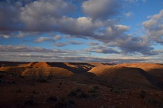
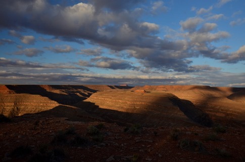
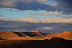
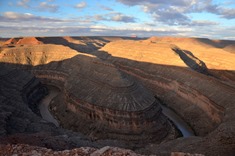
The drive northeast on Highway 12 in Utah took us through an incredible range of geology as we climbed up The Grand Staircase, but our plans for the night would take back down south towards Lake Powell. Actually, one of the first destination recommendations we’d gotten when we started talking about this drive was from our friends Dick and Karen who suggested we stay at something called “Goosenecks.” Well it just so happened that another Airstream couple whose blog we’d been following, Amanda and Tim from Watsons Wander, were going to be at Goosenecks the next couple nights, so we’d made plans to meet up with them.
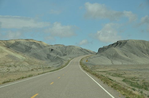
The landscape grew lunar as we approached our turn south onto 95.
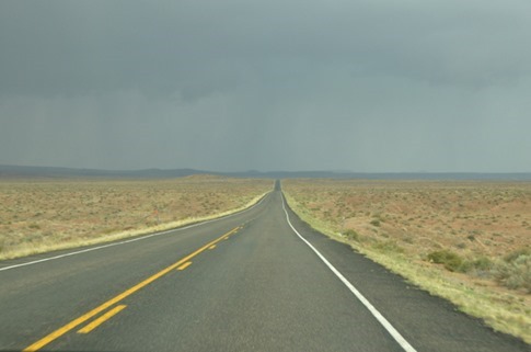
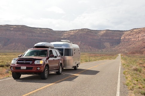
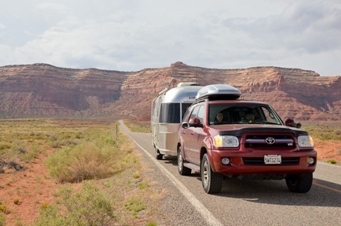
And once we turned, was one of those classic roads where you could see it extend in front of you for miles and miles across a wide open expanse.
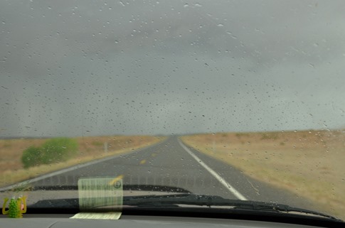
We headed down the long lonely stretch towards some ominous rain clouds with it hard to believe we’d been driving in snow at 9600 ft hours earlier. We could see well defined walls of heavy rain pounding the pavement as we approached and then would plow into them like driving through a waterfall at 65 miles per hour.
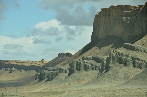
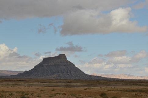
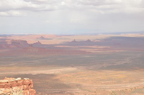
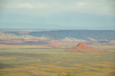
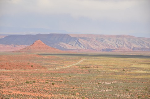
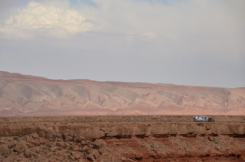
Occasionally, a massive formation like below would emerge out of the high desert like a battleship.
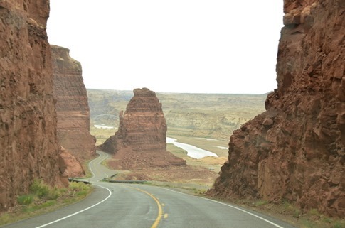
As we approached Lake Powell, we got back down into the red rocks and canyons.
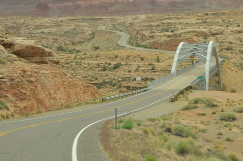
And eventually crossed over the Colorado River.
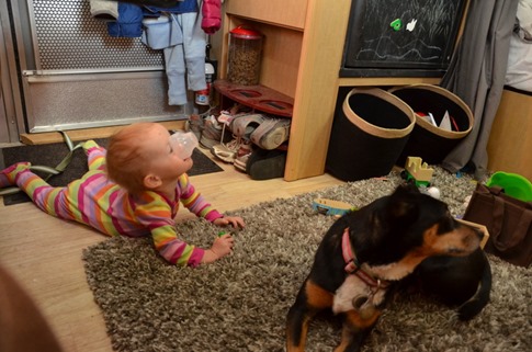
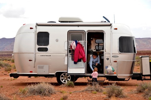
As usually, our schedule had slipped drastically. I’d sent Amanda a text in the morning saying that our GPS was predicting a 2:45 pm arrival. Of course, our GPS doesn’t have to feed and change a toddler throughout the day. I wonder if there’s a setting for that? Would you like a) Fastest route? b) Most direct? c) Route with stops at windy gravel pull outs every two hours to crawl into the trailer and let your baby roll around on the shag carpet?
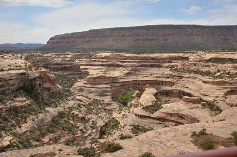
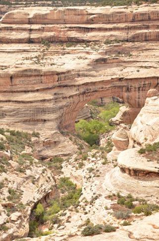
With Wynne awake and needing to get out of the car for a bit, we saw the sign for Natural Bridges National Monument and took the turn. We’d made the decision to skip Arches to stay on schedule but had read that Natural Bridges was a smaller, more intimate alternative.
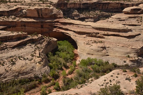
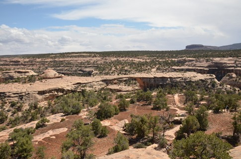
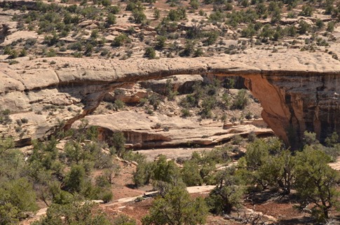
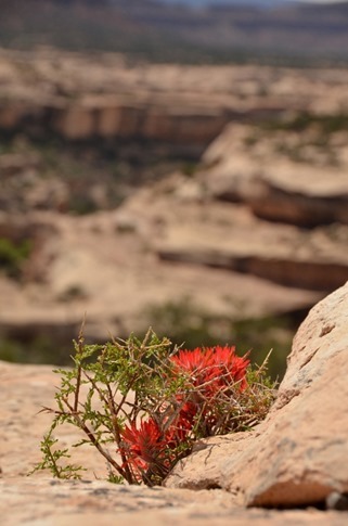
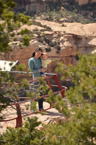
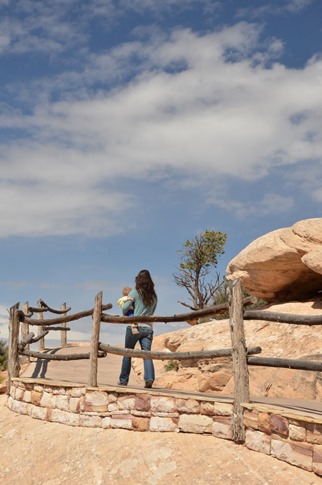
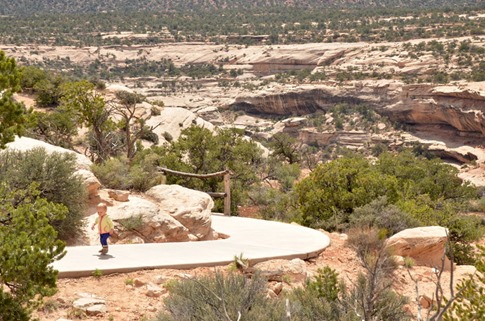
Though we didn’t have time to hike at all, the views from the overlooks were stunning.
Told ya the views were stunning….
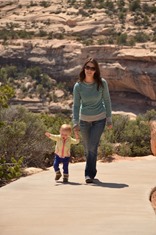
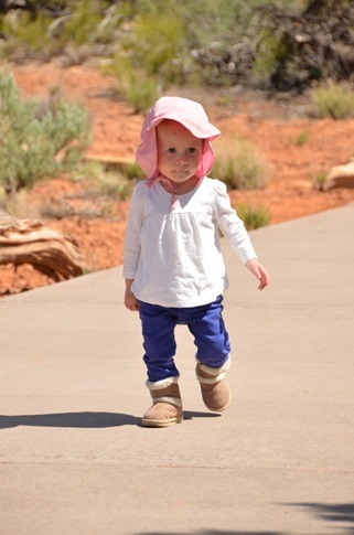
And most importantly, Wynne got to stretch her legs.
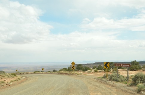
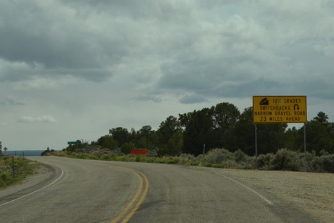
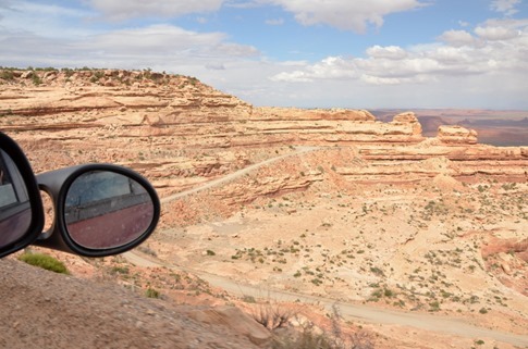
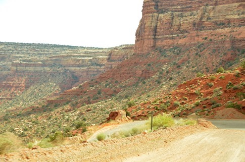
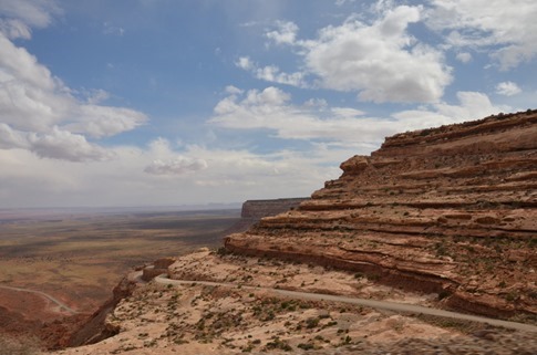
It just so happens that the most direct way from Natural Bridges to the Goosenecks – and I mean, direct – is via something called the Moki Dugway. I’d done my research on the Dugway, 30 or so miles of straight pavement followed by 4 miles of steep gravel switchbacks, before leaving. On the forums, there were those who said it couldn’t be done with a trailer of any size and others who’d done it the week before towing a 30 footer. I figured, if all I had to do was drive slowly up some tight turns, what’s the big deal?
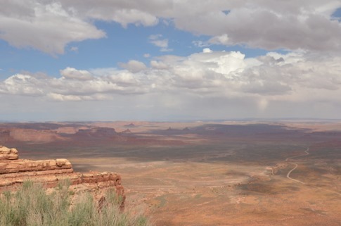
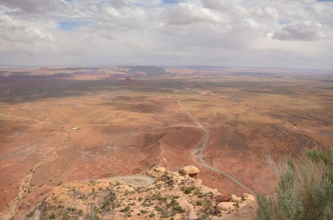
Oh, it goes down in this direction?? Uh yeah, it goes down…
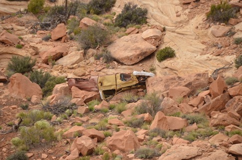
If you don’t believe me, ask this guy.
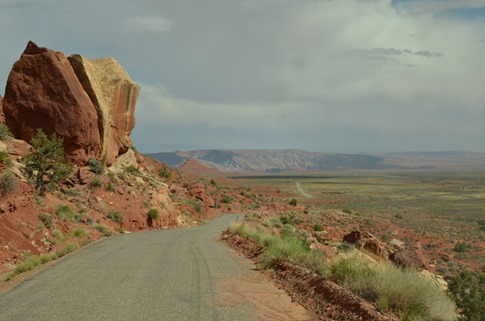
In reality, it was no big deal. The road was in descent shape and was even paved on some of the switchbacks themselves. We went slow as much to keep things from falling out of cabinets as to stay in control. We met a couple lines of cars on their way up, but there was plenty of room on most sections to pass.
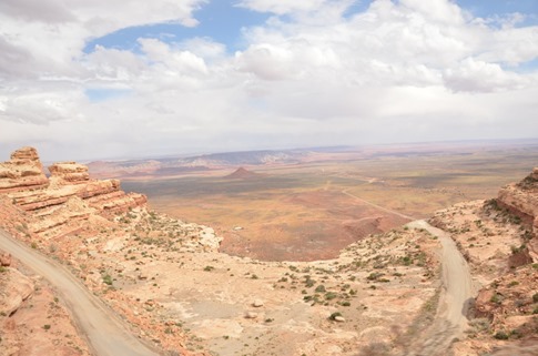
The bottom!
We kept thinking about what the builders of this road must have thought when after 23 miles of straight as an arrow they came to this cliff face. Go around? Would be too far. Go back? We’ve come too far. I guess we’ll have to blast a road into the side of the sheer cliff.
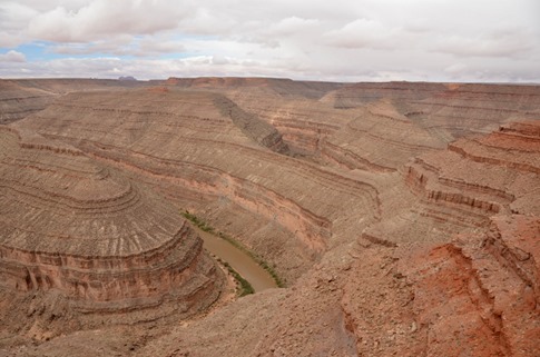
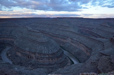
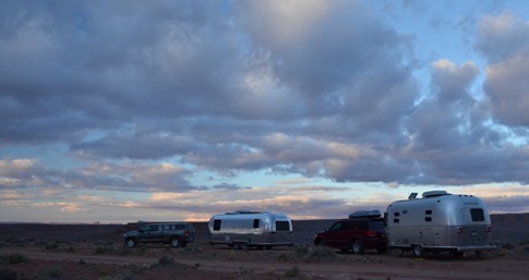
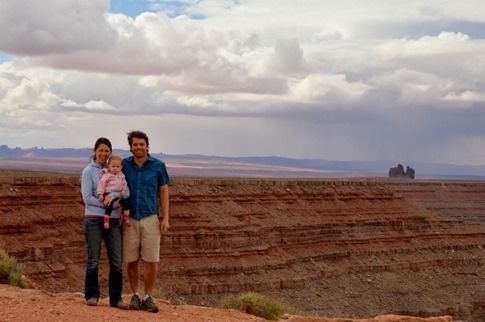
And as promised, we saw a sign for Goosenecks State Park just minutes up the road. As we took the turn, it felt like we were driving along a high plateau, hard to believe considering what we’d just come down. We’d been sold on the idea of camping here by pictures of rigs perched right on the edge of a huge canyon. As we approached, we could see the glimmer of what had to be an Airstream in the distance but no sign of the canyon. As we came around the other side, the bottom dropped out.
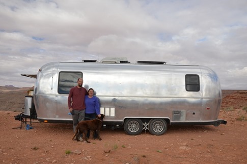
Tim and Amanda emerged to greet us and within minutes we had a plan for dinner. Amanda had the makings for a cottage pie with mashed potatoes and carrots and lentils, and we offered to sauté up some ground pork to add to the mix. With Wynne down for the night and our wifi baby monitor in hand, we walked over to “the neighbors” for a great meal and conversation about travel, lifestyles and well, travel lifestyles.
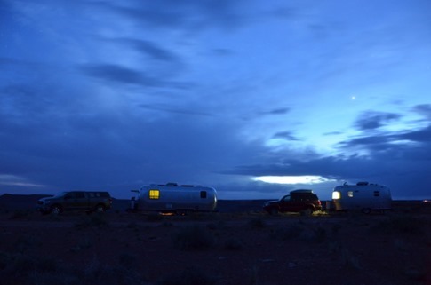
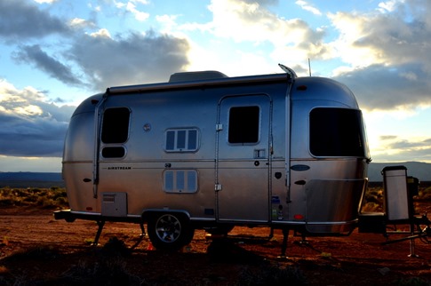
On the epic walk home, we took some long exposures of the two trailers on the rim.
And as per usual, I had the “opportunity” to take some sunrise pics when thankfully Wynne was kind enough to wake me up bright and early.
Tim and Amanda had talked about moving the next morning to another campsite along the Valley of the Gods road which they’d explored the day before without their trailer. They’d said the east side of the 17 mile dirt road was pretty mellow but that the west side had a few washes that might have given them trouble in their 25 foot Airstream. We said our goodbyes in the morning as they pulled out to their next destination.
We hung around a bit, taking some time to bake a loaf of bread from one of the balls of frozen dough we’d packed...
…to enjoy some “family time” on the shag rug…
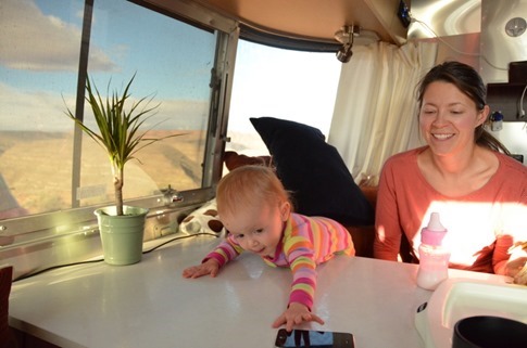
And just to take in the view out the front window.
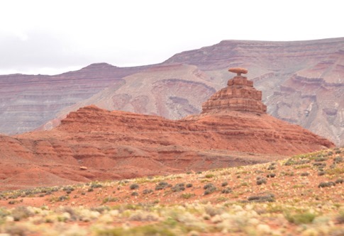
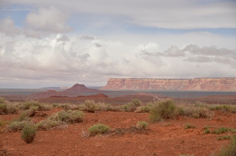
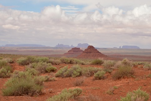
After a high-speed drive-by pic of the rock formation that gives the little town of Mexican Hat its name, we decided to try our luck with the trailer on the easier eastern portion of the Valley of the Gods road.
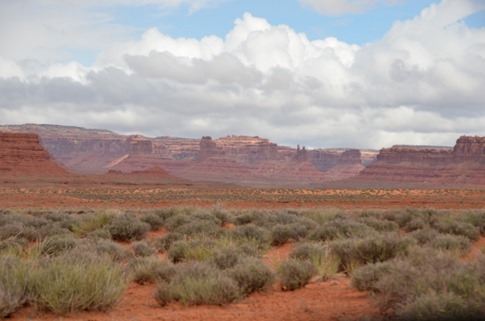
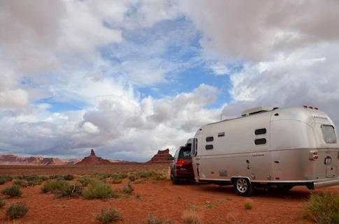
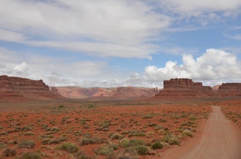
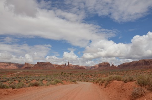
Honestly, we talked about turning back a few times, but the vast spread of scenery before us kept luring us farther.
Two iPhone panorama shots stitched together to form a complete 360 from trailer to tow vehicle.
The road wasn’t getting any worse and some higher power seemed to beckon us, so we continued on.
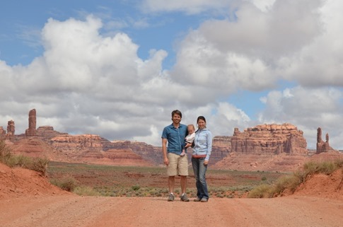
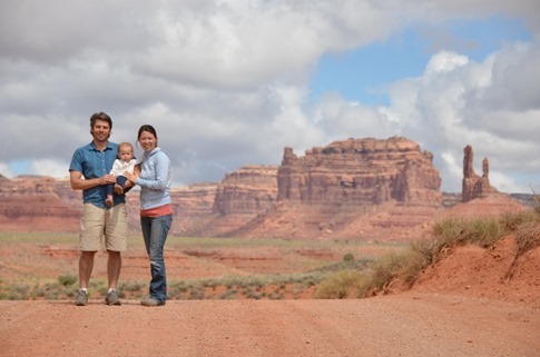
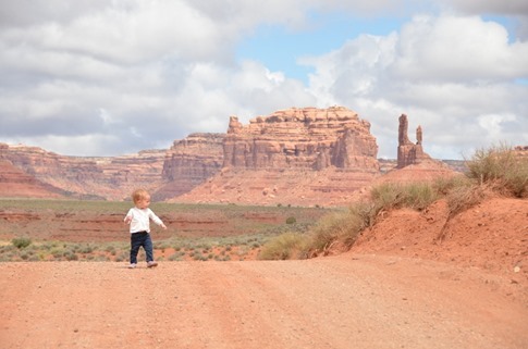
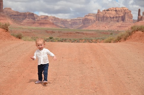
We couldn’t stop taking pictures at this one stop. I’m feelin’ some Christmas card material here…
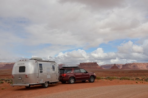
Figuring we’d already come halfway, we kept moving forward. As promised, there were some washes with sharp angles of approach and exit as well as some tight switchbacks and narrow sections in the second half, but nothing we couldn’t handle with our 19 footer and some careful driving, although we got some startled looks from traffic coming the other direction. Ironically, the worst section was the last two miles of washboard where we were afraid the magnets we’d been getting Wynne at each place we visited would rattle off the fridge.
Next time, we’d definitely swing by Goosenecks for the magnificent view of the canyons carved by the powerful Colorado River, but would spend the night in the shadows of the undeniably spiritual formations along the Valley of the Gods road.

